"God vakt skal være!" – it shall be a good watch, I shout together with my fellow sailing trainees of the white watch as we take over from the red watch at 4 a.m.
At this hour, only the moon and the stars illuminate the sky over Statsraad Lehmkuhl, that is, where they are not hidden behind dark patches. A while later, after the first sail manoeuvres and ropes that we have pulled today, I take a deep breath, and marvel at the picture that every new day paints into the sky: dramatic colours ranging from pale blue, bright orange, to pink stretch across horizon.
The dark patches of before reveal themselves as little, fluffy, grey and white cumulus clouds. Since we went out to sea, they have lost their unpredictable nature of Suva Bay. Here, they stay benign and have given us pleasant moments of shade in the tropical sun.
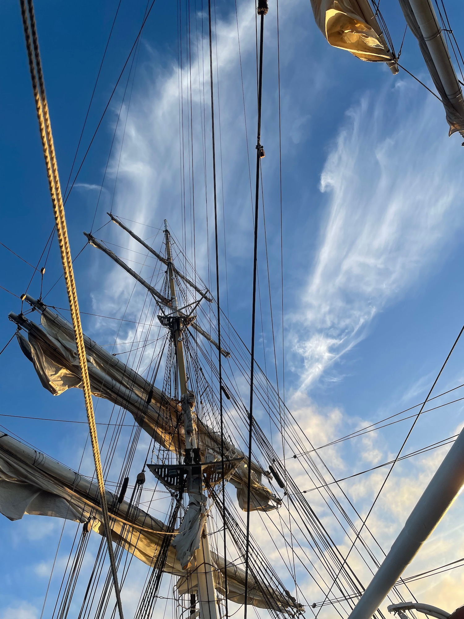
But this morning, the view is different. At the start of our shift, we noticed an unusually cold wind and wrapped ourselves in our jumpers and jackets, unlike the previous days. And as the sun rises and begins to illuminate the sky, a towering, and yet fragile-looking, white structure appears up high, out-shining our friendly little grey cumulus clouds:
Cirrus clouds, thin ice clouds in the upper troposphere, more than 8000 metres above our heads.
They look like thin, half-transparent pieces of cloth that get lifted up and stretched, twisted, and curled by the otherwise invisible forces of the wind. I lie down on deck, look up, and wonder about the origin of these veils in the sky. What do these clouds have to do with the chills we feel on our skin this morning?
Reading the Clouds
The appearances of clouds are shaped by their composition and the forces that create them. Clouds form when moist air rises, expands and cools with decreasing pressure, and eventually becomes saturated with water vapour. The water condenses in liquid or solid form, depending on the temperature.
Unlike the fluffy low-level relatives, which consist of liquid-water droplets, cirrus clouds are made up of ice particles, due to the low temperatures at these high altitudes. This gives them the smooth, velvet-like texture.
In the low cumulus clouds, the vertical transport happens in a straight upward-moving plume of air that is warmer and moister than the surrounding air. In cirrus clouds however, divergent flow aloft induces the upward lift, such that the cloud shape mostly represents the horizontal flow at the altitude at which these cloud forms.
They are ice cold and “kinda cool”, I think to myself, as I turn my hands back to the work on deck.

While one cloud type alone is fascinating in itself, the combination of low and high clouds offers even deeper insights into the weather situation. Either type is transported with the wind at their respective altitude. From the relationship between these wind speeds and wind directions, information about the temperature distribution in between the two cloud layers can be deduced.
As I scrub the ship’s deck, I try to remember how I learned to perform this diagnosis, during my bachelor studies. In the Southern Hemisphere, the wind direction changes clockwise with increasing altitude if the air upwind is colder, and anticlockwise, if the air is warmer in the upwind direction.
As we gather at the end of our watch, I look up. The wind on deck comes from starboard, the same direction the low cumulus clouds appear to move. The high cirrus clouds seem to move with the ship from aft to bow. So, going up from the cumulus to the cirrus clouds, the wind turns clockwise, which means that down here, at the ocean surface, the wind indeed blows from cold to warm. No wonder, the wind felt colder today than before.
“God vakt”, we wish the blue watch, which takes over for us. Finally, I can go downstairs to the banjer and warm myself with a morning coffee. With my head, I stay in the clouds for a little while longer.

